Table of Contents (click to expand)
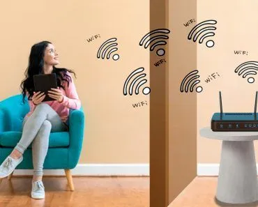
Turning on WiFi improves location accuracy because your device scans nearby wireless access points and measures their signal strengths. Each access point’s location is stored in a crowdsourced database, so your device estimates its own position from the access points it detects, without connecting to any of them. Indoors, where GPS struggles, this usually pins your location to within a few meters.
WiFi radio signals are a great way to determine where a device is geographically located. The device (with WiFi turned on) measures the signal strength of all nearby WiFi networks that it detects, and this information is used to estimate how close or far the device is from each of these wireless access points. Since the location of those access points is already known, your device can work backwards to pin down its own position, a process called trilateration (often loosely called triangulation).
It often happens that when you’re inside your house, your smartphone may struggle to pick up your precise geographical location using GPS. The reason for this is simple: since GPS works with the help of satellites that circle around the Earth, being in a location that doesn’t have a clear view of the sky makes it difficult for the antenna in your device to track your location with the help of GPS.
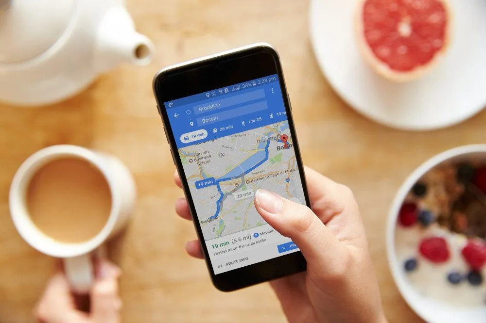
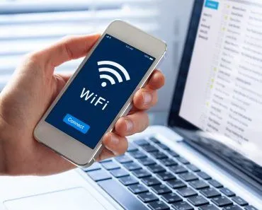
However, that doesn’t mean that your location can’t be pinpointed if you’re surrounded by four walls and a ceiling. You can still switch on your WiFi and it will help to mark your location more accurately. Another very interesting thing about this is that you don’t even have to connect to any WiFi network for this to work; you just need to enable WiFi on your device.
How does that work?
Location Determination With GPS
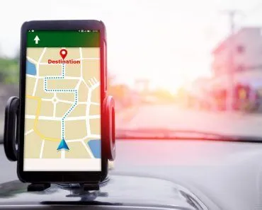
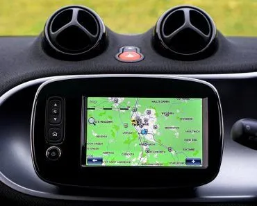
When you’re out in the open, it’s pretty easy to mark your location on Earth using the Global Positioning System, or GPS. For the uninitiated, GPS is a technology that helps to pinpoint someone’s location and provides information about a given point on Earth. GPS consists of three segments: the space segment, the ground segment and receivers.
The space segment consists of a network of more than 30 satellites that constantly orbit the Earth and emit microwave signals that are captured by the tiny antenna installed inside your phone, tablet or any other “GPS-enabled” device.
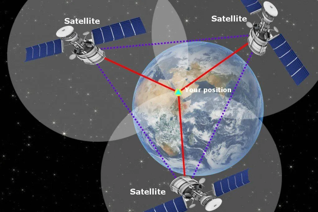
Although there are more than two dozen GPS satellites in the sky, you only need to be visible by four to get yourself located anywhere in the world. A technique called trilateration works to estimate a GPS-enabled device’s exact location with astounding accuracy.
Location Determination With WiFi Signals
Since GPS works with the help of signals coming from the sky, it’s to be expected that your smartphone occasionally faces difficulties ascertaining your location when you are sitting in your living room in a multi-story building.
In such cases, enabling WiFi lends a helping hand to determine your location. You see, when WiFi on your phone is turned on, it actively searches for available wireless networks. Therefore, if your phone detects four access points, for instance, then the location detection algorithm deduces that it must be in the vicinity of these four access points (since WiFi access points can transmit radio signals only up to roughly 50 to 100 meters, or a couple hundred feet)
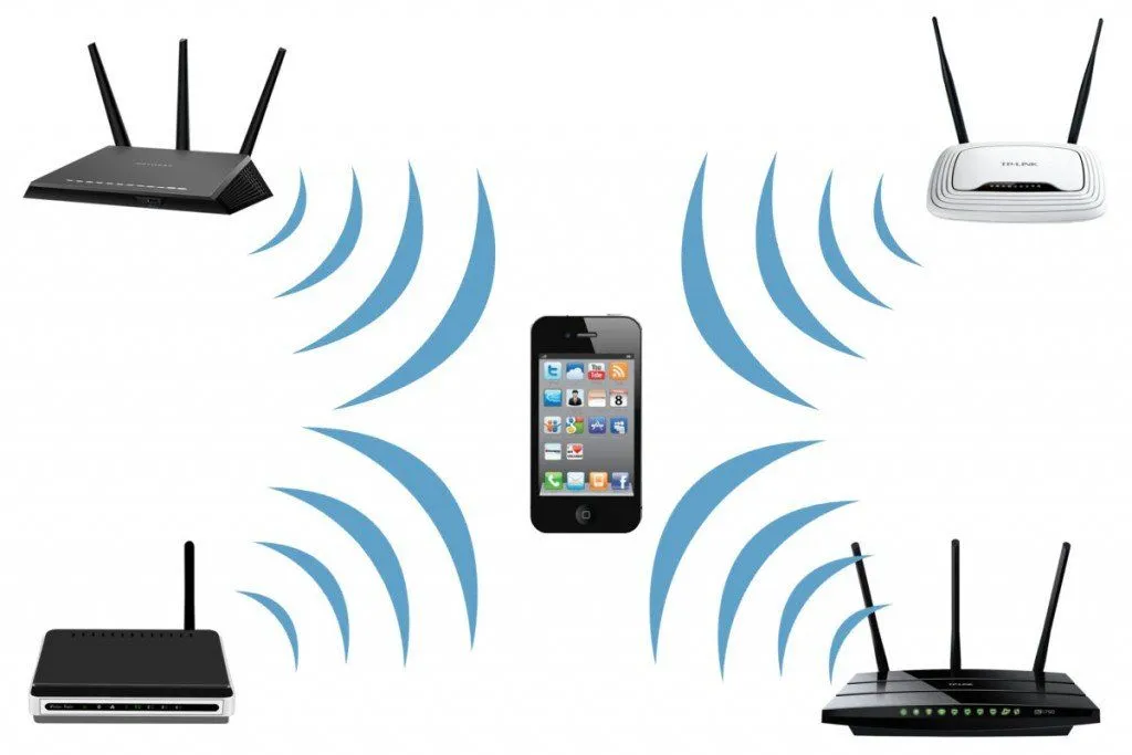
A very interesting thing to note is that you don’t need to actually be connected to a WiFi network for this to work. Your phone just takes a quick ‘snapshot’ of various wireless access points in its range and determines their MAC addresses without connecting to any of them!
Thus, all a phone needs to do is detect various WiFi hotspots in its range, and then its location accuracy improves, because the geographical location of millions of WiFi access points can be obtained from a centralized database. How accurate is the result? Indoors, where GPS often fails altogether, WiFi positioning based on signal strength usually places you within roughly 3 to 15 meters (10 to 50 feet), and frequently within a few meters when several access points are nearby. That is rarely good enough to point to the exact shelf you are standing next to, but it is plenty to drop your blue dot in the right room or the right store.
How Is The Geographical Location Of A Wireless Access Point Determined?
Google Street View cars used to drive around in the US and many other countries to gather pictures and data for the “Street View” feature of Google Maps. Collecting images of roads and streets was the main purpose, but they also recorded the geographical locations of WiFi networks that they detected during their journey.

In this way, Google established a massive database of millions and millions of access points all over the world. Therefore, when your device simply detects a WiFi access point (remember, no connection required), Google estimates your location by looking up the recorded position of that particular access point in its database.
These days, though, Street View cars are no longer the main source of this data. The much larger source is all of us. Every time a phone running Google or Apple software gets a GPS fix outdoors, it can quietly note the nearby access points it sees and report their signal strengths back, gradually mapping access points the world over. So billions of everyday smartphones, rather than a fleet of camera cars, keep these databases up to date. (If you would rather your own router stay out of them, you can add “_nomap” to the end of its network name, which both Google and Apple honor as an opt-out.)
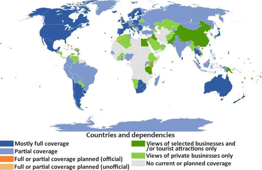
In places where tech giants like Google (or Apple, Microsoft etc.) do not know precisely where a wireless access point is located, you can still track your location through GPS and then have the nearby wireless access points automatically registered in the Google Maps database (provided you’ve allowed Google to collect your WiFi location data).
This way, even you can help improve the colossal database of geographical locations of numerous WiFi access points without actually realizing it!
How Accurate Is WiFi Positioning?
So how close does WiFi actually get you? When your phone estimates its position purely from the signal strength of nearby access points (a value engineers call the RSSI, or received signal strength indicator), the answer is usually somewhere in the range of 5 to 15 meters (roughly 15 to 50 feet). That is because signal strength is a noisy way to judge distance. Walls, furniture, human bodies and even the moisture in the air all nibble away at a WiFi signal, so a router that is physically close can look far away, and one across the building can seem near.
Modern phones have a cleverer trick up their sleeve. Instead of guessing distance from how loud a signal is, WiFi Round Trip Time (RTT) measures how long a radio packet takes to fly from your phone to an access point and back. Because radio waves travel at a fixed speed (about 3.3 nanoseconds per meter), that travel time translates almost directly into distance. Google added support for this standard, known as IEEE 802.11mc, back in Android 9 (Pie) in 2018, and under good conditions it pins a device to within 1 to 2 meters. Android 15 goes further still, adding the newer 802.11az “WiFi Ranging” standard that can shrink the error to under a meter (as little as 0.4 meters) when both the phone and the access point support it.
The catch is that RTT only works when the hardware on both ends speaks the same language, so for now most everyday location fixes still lean on plain signal strength and the crowdsourced database. That is why, indoors, your blue dot is usually good enough to land you in the right room or the right aisle of a store, but not quite precise enough to know which shelf you are reaching for.
What Is The “Improve Location Accuracy” Setting On Your Phone?
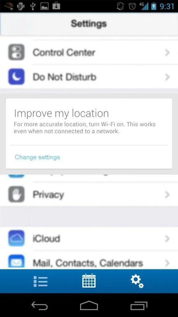
If you dig into the location menu on an Android phone, you will find a toggle that used to be called “Improve Location Accuracy” and is now labelled “Google Location Accuracy.” This is the switch that ties everything above together. According to Google, turning it on lets your device use wireless signals such as WiFi access points, cellular network towers and GPS, along with device sensor data, to work out where you are. In practice, that is the WiFi scanning we have been describing, plus nearby cell towers and the phone’s own motion sensors, all pooled to fix your position faster and more reliably.
Google is clear about the trade-off if you switch it off: only GPS and the phone’s own sensors are then used, which, in its words, “may impact the availability and accuracy of locations for apps and services” (especially in the exact places, indoors or downtown among tall buildings, where GPS already struggles). Older versions of Android spelled this out as three modes: High accuracy (GPS, WiFi, mobile networks and sensors together), Battery saving (WiFi and mobile networks only, to spare the power-hungry GPS chip) and Device only (GPS and sensors, with no help from Google’s servers).
You may also spot separate “WiFi scanning” and “Bluetooth scanning” switches nearby. These let apps and Google’s location service keep scanning for nearby access points and beacons to sharpen your location even when your WiFi or Bluetooth radio is otherwise switched off, which is exactly why a device can be located by WiFi without ever connecting to a network.
Can Your Location Be Tracked Through WiFi?
All of this raises an obvious worry: if a giant database knows where millions of routers live, could it be turned around to track people? The concern is real, and it has been demonstrated. In 2024, University of Maryland researchers Erik Rye and Dave Levin showed that Apple’s WiFi positioning system could be queried by almost anyone, with no Apple device and no special permissions, simply by guessing access point identifiers. Over the course of a year they geolocated more than 2 billion access points worldwide, and because a moving router (say, a portable hotspot or a Starlink terminal) carries its location with it, they could even follow individual devices as they travelled between countries.
The reassuring part is that the mapping is meant to describe your router, not you, and the companies building these databases add safeguards. Google, for instance, says it gathers the crowdsourced signal data using randomly assigned, temporary, rotating identifiers that are not tied to a specific person or account. And if you would rather your own network stay off the map entirely, you can add “_nomap” to the end of its WiFi name (its SSID). Both Google and Apple treat that suffix as an instruction to leave the access point out of their location databases, a tiny change that opts your router out of the very system this article describes.
References (click to expand)
- Zhang, Z., Zhou, X., Zhang, W., Zhang, Y., Wang, G., Zhao, B. Y., & Zheng, H. (2011, September 19). I am the antenna. Proceedings of the 17th annual international conference on Mobile computing and networking. ACM.
- M Kotaru. SpotFi: Decimeter Level Localization Using WiFi. Stanford University
- (2008) Room-Level Wi-Fi Location Tracking. CiteSeerX
- N Conrad. Position Tracking Using WiFi - ScholarWorks at WMU. Western Michigan University
- (2017) Achieving Centimeter-Accuracy Indoor Localization on WiFi .... The University of Maryland, College Park
- Manage your Android device’s location settings. Google Account Help.
- Android 15 adds support for Wi-Fi Ranging to improve indoor navigation. Android Authority.
- Rye, E., & Levin, D. (2024). Surveilling the Masses with Wi-Fi-Based Positioning Systems. arXiv.